Overview
Argentina is a country where the road day changes character as soon as the landscape changes. Buenos Aires has dense lanes, one-way streets and paid parking. The long corridors toward Córdoba, Mendoza and Rosario use toll systems. Patagonia adds wind, large gaps between services, gravel and sudden winter restrictions. A route that looks short on a map can require a fuel stop, a surface check and a daylight buffer.
The car is useful for the lake districts, wine country and Patagonia. It is less useful in central Buenos Aires, where a hotel garage and public transport can remove several stressful decisions. Argentina drives on the right and uses kilometres per hour. The national legal defaults below are a starting point; signs, provincial rules and temporary road orders always control the road in front of you.

Licence, IDP and documents
- Convention licences: Argentina’s official guidance says a foreign visitor should carry a valid national or international licence, a passport showing entry or a valid MERCOSUR identity document, and meet one of the recognised convention routes. Licences issued by 1949 Geneva or 1968 Vienna convention parties can be used for up to one year from entry. Read the official international-licence guidance before travel.
- MERCOSUR visitors: Drivers from MERCOSUR countries have a separate recognition and document framework. The MERCOSUR guidance lists the identity and licence documents to carry and the one-year tourist period.
- When to bring an IDP: Bring one when your licence uses a non-Latin script, lacks Spanish or an agreed convention format, or your rental company lists it as a pickup condition. An IDP supplements the original licence; it does not replace it.
- At the rental desk: Carry the physical licence, passport, entry record, booking, credit card, insurance certificate and the vehicle’s registration papers. Ask the named-driver, border-crossing, gravel-road and tyre rules before signing.
- Age: The legal minimum for driving a car is 17. Rental companies generally set a higher minimum, often with a young-driver surcharge and a minimum licence-holding period. The contract controls the vehicle handover.
Rules that change a road day
- Keep right and overtake on the left. At an unmarked urban junction, the national rule generally gives priority to traffic from the right, but signs and markings can change it.
- Speed: The national law sets 40 km/h on urban streets and 60 km/h on avenues. For cars and light pickups it sets 110 km/h in rural areas, 120 km/h on semiautopistas and 130 km/h on autopistas. An unmarked urban crossing has a precautionary ceiling of 30 km/h, and school or railway approaches can require 20 km/h. See the updated National Traffic Law.
- Alcohol: Argentina’s current national rule is zero alcohol. Do not use a drink-count estimate to decide whether to drive.
- Lights: Dipped beams or DRLs must be on while travelling on national routes, both day and night. In rural areas, use high beam only when visibility and oncoming traffic make it legal and safe.
- Belts and children: Everyone must use a seat belt. Children under ten travel in the rear seat with an appropriate child restraint; the National Road Safety guidance explains the age, weight and height decision.
- Phone and passing: Put a handheld phone away, keep a generous following distance and pass only with a clear view, legal markings and room to return. A long empty straight can still hide a vehicle, cyclist or animal.
Buenos Aires traffic, parking and tolls
Driving from Ezeiza or Aeroparque into the capital is a separate task from a Patagonian road trip. Use a confirmed address, save the access route offline and expect lane changes around interchanges. If the itinerary begins in the city, collect the car after the urban sightseeing days or choose accommodation with a garage.
In CABA, paid parking is concentrated in named neighbourhoods and uses the Blinkay app. The city’s parking page lists the current paid area and hours. Read each sign, keep the plate number handy and avoid bus stops, yellow lines, ramps and tow-away areas. A ticket or a quiet-looking kerb does not override the sign.
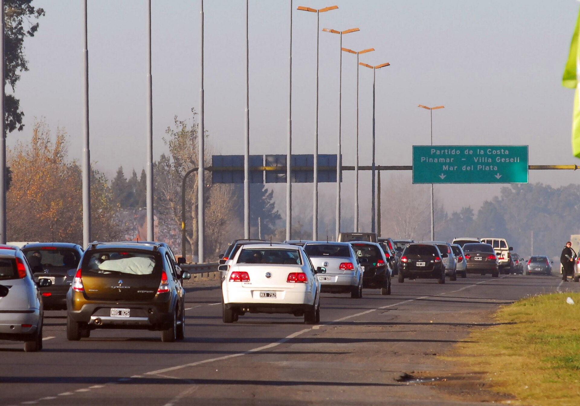

Tolls are corridor-specific. National concession notices cover routes such as the Buenos Aires approaches, Buenos Aires to Rosario and Buenos Aires to Córdoba, while other provincial operators use their own arrangements. The official TelePASE service says foreign drivers can register a foreign plate and international card. A rental car may already be associated with a tag, so ask:
- Is the plate or tag already registered?
- Are cash, card and manual lanes still available on the route you will use?
- Does the company add a processing fee to every passage?
- How are free-flow or plate-read passages shown on the final invoice?
Keep the route name, date and toll receipt until the deposit is released. Check the Vialidad Nacional route and toll pages shortly before a long departure because tariff tables and collection systems change.
Ruta 40, the Seven Lakes and Los Glaciares
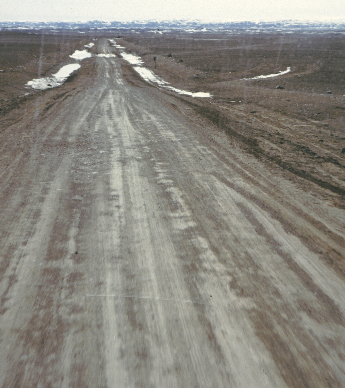
Ruta 40 is a national route, not a single road surface. The official Seven Lakes guide describes a 96-kilometre paved scenic section between the Nahuel Huapi and Lanín national parks. That is a helpful, manageable first Patagonia drive. It does not describe every kilometre of the route toward Santa Cruz or Tierra del Fuego.
Before each stage, check the live national route status. Save the route number and affected kilometre markers, then compare them with the rental company’s surface permission. A navigation app can offer a shortcut that uses gravel, a seasonal branch or a private road.
The Los Glaciares access plan illustrates the difference between a trunk road and a park branch. The park authority identifies Ruta 40 as the main approach, RP 11 toward El Calafate, and separate branches toward the glacier and El Chaltén. It also warns that some central approaches turn to poor gravel. Read the current Los Glaciares access and parking guidance, then confirm park entry, opening hours and parking before leaving town.
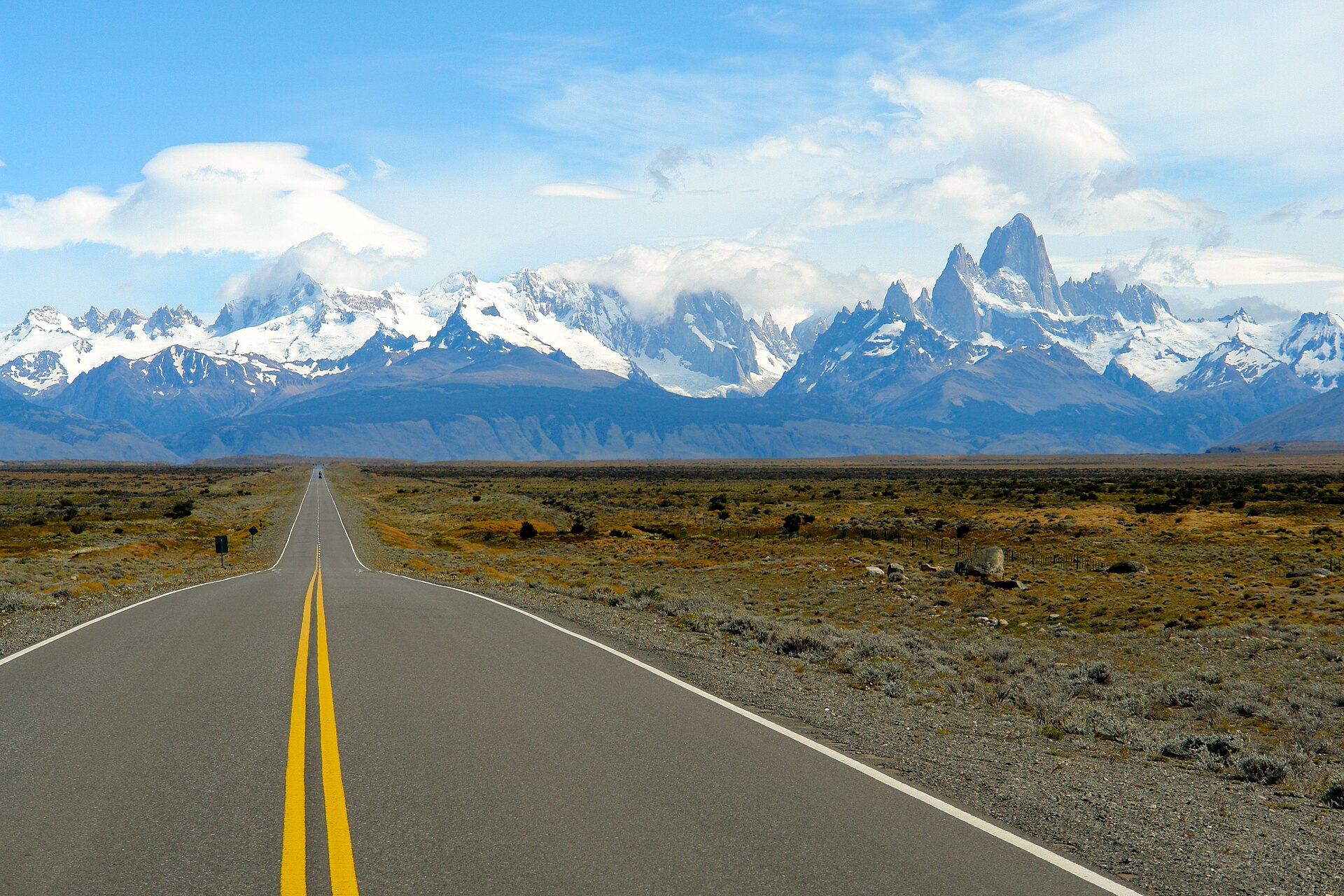

For a long Patagonia day:
- Put the fuel stop on the itinerary before the landscape becomes empty. Fill up in a staffed town when the tank still has room for wind, detours and a closed pump.
- Leave the room and the luggage plan flexible. A 200-kilometre stage can become a full day once viewpoints, park queues and a slow gravel surface are included.
- Treat wind as a driving condition. Slow down before a gust reaches a high-sided vehicle, keep space beside the doors and park clear of loose objects.
- Keep water, a warm layer, food, a headlamp, a paper address and an offline map inside the cabin. Mobile coverage is uneven outside towns.
- Never stop on the carriageway for a photograph. Use a signed pull-off and leave the road edge clear for buses, recovery vehicles and passing traffic.
Fuel, vehicle choice and insurance
Fuel is commonly labelled nafta for petrol and gasoil for diesel. Cities and principal routes have more options; southern Patagonia has longer gaps and occasional single-station towns. Ask the rental desk which stations accept foreign cards and whether a temporary card authorisation is expected. Download the YPF station map or save two alternatives before leaving a city.
Choose the car from the confirmed surface, not from the scenery in a brochure. A compact car can suit the paved Seven Lakes corridor. A remote gravel branch may need higher clearance, a full-size spare and written permission. Four-wheel drive does not cancel the need to slow down or check a closure.
Read the insurance exclusions line by line. Tyres, glass, underbody damage, wind damage and unpaved-road use may be handled differently from collision damage. Photograph the tread, wheels, spare, fuel gauge, glass and bodywork in daylight. At return, ask for an attended inspection and keep the signed condition record.
Electric charging is growing in major cities and tourist centres, but it is not a dependable assumption for a long southern loop. Check the connector, opening hours, payment method and backup distance for every planned charge. A petrol or diesel plan with a reserve is still the simpler choice for remote Ruta 40 stages.
Winter, gravel and route decisions
Vialidad Nacional’s winter plan covers thousands of kilometres in Patagonia and Mendoza. Its advice is practical: read the daily route report, check the forecast and the car’s brakes, lights and heater, avoid night travel in snow, and keep the tank full. The winter-maintenance guidance also notes that chains or studded wheels can be required when the competent authority orders them.
Ask the rental branch whether chains are supplied, which wheels they fit and whether the contract allows the vehicle onto the route. If snow, standing water, crosswind or darkness removes your margin, turn around at a legal place. A prepaid excursion or hotel reservation is not a reason to continue onto a closed or unsafe road.
Emergencies and roadside recovery
Argentina’s emergency numbers vary by province. The national health guidance lists 107 for Buenos Aires City and many provinces, 911 for Buenos Aires Province and 106 in Neuquén. Save the local number for each region, and use the rental company’s roadside line for a breakdown.
| Service | Number | Use it for |
|---|---|---|
| Medical emergency | 107 in most listed provinces | Injury or urgent medical assistance |
| Buenos Aires Province emergency | 911 | Police and emergency dispatch in the province |
| Neuquén medical emergency | 106 | Medical assistance in Neuquén |
| National route information | Check Vialidad Nacional | Road status, closures and incidents |
| Rental roadside assistance | On the rental contract | Breakdown, tyre or recovery request |
The official emergency guidance recommends giving the exact location, injuries, number of people and hazards. On a remote road, move the car fully off the lane if it is safe, turn on hazard lights, keep people visible to approaching traffic and do not leave the vehicle to walk for fuel or signal unless local responders advise it.
Sources and review date
This page was reviewed on 17 August 2026. Legal and document details were checked against Argentina’s international-licence guidance, the MERCOSUR licence page and the updated National Traffic Law. Road, toll, winter and park planning were checked against TelePASE, Vialidad Nacional route status, winter-maintenance guidance, the Seven Lakes route guide, Los Glaciares access information and the Buenos Aires parking page. Recheck route status, tariffs, park access, weather and rental terms for your travel dates.
Related Argentina guides
- Argentina rental cars, tolls and Patagonia roads
- Argentina Seven Lakes: a seven-day road trip
- International Driving Permit guide
- Car rental insurance guide
Related destinations
Frequently Asked Questions
- Do I need an International Driving Permit to drive in Argentina?
- Not every visitor needs one. Argentina recognises national licences issued under the 1943 Washington, 1949 Geneva or 1968 Vienna conventions for up to one year from entry when the licence and identity documents meet the convention rules. A physical IDP or approved translation is sensible when your licence is not in Spanish, does not follow a recognised model, or your rental company requests it.
- What are the main speed limits in Argentina?
- The national defaults are 40 km/h on urban streets, 60 km/h on avenues, 110 km/h for cars and light pickups in rural areas, 120 km/h on semiautopistas and 130 km/h on autopistas. Signs, temporary restrictions and the lower precautionary limits at crossings or schools take priority.
- Is Argentina zero tolerance for alcohol when driving?
- Yes. The national traffic law prohibits driving with more than zero alcohol in the blood. Treat the rule as zero alcohol for every driver, including a rental-car driver who is only moving the car a short distance.
- Do I need lights on during the day?
- On national routes, dipped beams or daytime running lights must remain on day and night, regardless of natural light. Keep the rental car's lights clean and use high beam only when the law and visibility allow it.
- How do tolls work for a foreign or rental car?
- Toll arrangements vary by concession. TelePASE allows foreign people and companies to register a foreign plate with an international card, but a rental company may already have its own tag and billing process. Ask how post-trip charges, administration fees and free-flow passages are handled before leaving the desk.
- Is Ruta 40 paved all the way?
- No. Surface and maintenance vary by province and kilometre. The Seven Lakes section in Neuquén is a 96-kilometre paved scenic corridor, while remote Patagonian branches and some southern stretches can be gravel, potholed or weather-affected. Check the national route report for the exact section.
- Can a normal rental car drive to El Chaltén or the glaciers?
- Some principal approaches are paved, but park branches can change to gravel and a contract may exclude unpaved roads. The Los Glaciares park authority describes Ruta 40 as the trunk approach, with separate branches and parking areas. Confirm the surface, insurance and roadside cover with the rental company before booking.
- What should I do before a winter drive in Patagonia?
- Read Vialidad Nacional's current route report and forecast, check the vehicle's tyres, brakes and heater, and carry the equipment required by the route authority. Chains or studded tyres can become mandatory when an authority orders them. Avoid night travel in snow and keep the tank full.
- What is the practical parking rule in Buenos Aires?
- Follow the sign on the exact block. CABA has paid zones that use the Blinkay app, and cars parked in prohibited places can be towed. A hotel garage or a park-and-walk plan is usually easier for a visitor than circling the microcentro with luggage.
- Which emergency numbers should visitors save?
- Emergency medical numbers vary by province: the national guidance lists 107 for Buenos Aires City and many provinces, 911 for Buenos Aires Province and 106 in Neuquén. Save the local number for every remote stage, and keep the rental company's recovery line with the vehicle papers.
Information Sources & Disclaimer
This guide compiles information from the official transport authorities, road operators, government travel information, and automobile associations linked for Argentina.
While we strive to keep this information as accurate and up-to-date as possible (last reviewed: August 2026), traffic laws and toll rates can change without notice. We recommend verifying critical information with the local authorities or your car rental agency upon arrival.
Learn more about our Editorial Process →Compare Your Origin and Destination
Use the comparison tool to check driving side, units, documents, and other destination data for your route.