Decide which Peru trip you are actually driving
Peru is not one road environment. Lima is a city transfer with buses, taxis, motorcycles and pedestrians. The coastal Pan-American route is a long paved corridor with trucks, toll plazas and desert visibility. The Andes add narrow curves, elevation gain, weather changes, livestock and stretches where a recovery vehicle is far away. Pick the route first, then choose the vehicle and insurance that match it.
Peru drives on the right and uses kilometres per hour. Set a daylight arrival for every highland hotel or remote viewpoint. A route that looks short on a map can take longer when a truck climbs slowly, a roadwork section is controlled, or a SUTRAN alert forces a turn-back.

Foreign licences, IDPs and the rental desk
The MTC’s February 2026 guidance for foreign drivers says a foreign licence may be used for the first six months of a stay when the issuing country and Peru are covered by a ratified international convention. The licence regulation recognises both qualifying original foreign licences and international permits issued under recognised conventions.
That makes the old “IDP always required” shortcut misleading. Carry the original domestic licence, passport and entry record. An IDP can help when the licence is not easy for a rental clerk or police officer to read, and a rental company may require it even when the legal route accepts the original. Send the branch a scan of the licence, vehicle class, entry date and intended regions before paying. If the convention or document language is unclear, ask the MTC or the rental insurer in writing rather than relying on a booking form.
Keep the rental agreement, vehicle registration, SOAT or insurance evidence and assistance number in the car. Photograph every panel, wheel, windscreen, spare tyre, fuel reading and odometer at pickup. Ask whether the policy covers gravel, mountain access, underbody damage, a puncture and recovery beyond the nearest paved road.
Rules that affect a visitor’s drive
- Urban speeds: the MTC’s national update sets 30 km/h for streets and jirones and 50 km/h for avenues. SUTRAN lists 30 km/h in commercial, school and hospital areas and 50 km/h in residential areas.
- National roads: SUTRAN lists 100 km/h for cars, pickups and motorcycles where no lower sign applies. A lower posted limit, work-zone sign, town limit or police instruction overrides it.
- Alcohol: SUTRAN guidance distinguishes a 0.50 g/l blood limit for private drivers from 0.25 g/l for passenger-transport drivers. A visitor should use zero as the practical limit, especially before an altitude or night stage.
- Phone and belts: keep the phone out of your hand, set navigation before moving and belt every available seat. SUTRAN’s defensive-driving guidance also calls for working lights, tyres, brakes and safe following distance.
- Lights: use the vehicle’s required lights when natural light or visibility is poor and follow the rental company’s highway instructions. Check the lamps before leaving a depot.
- Police and toll stops: pull over safely, show the documents and request an official receipt for a fine or payment. Do not make an unrecorded cash agreement at the roadside.
Lima, the coast and the Pan-American route
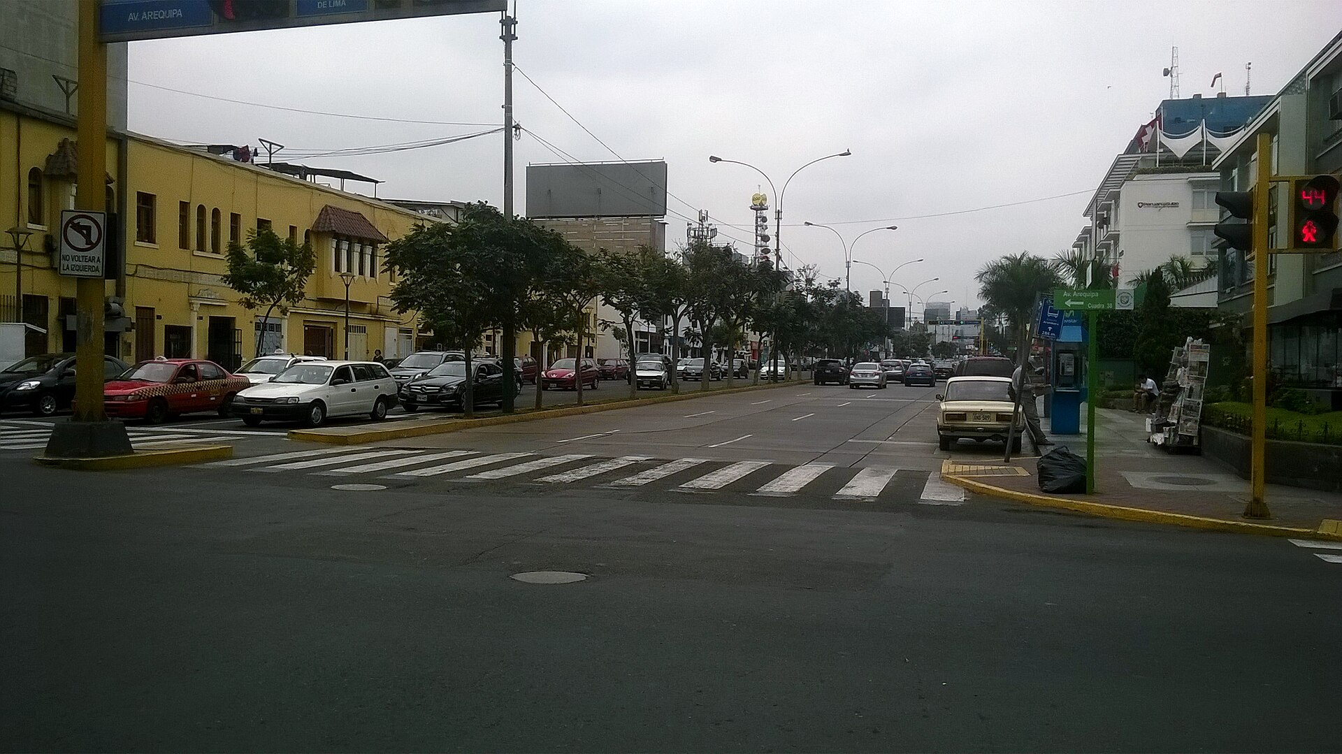
Lima’s traffic rewards a short first day. Buses stop, taxis change lanes and pedestrians cross near markets and junctions. If you collect at Jorge Chávez Airport, consider leaving the metropolitan area before the evening peak or using a driver for the first city transfer. Secure parking is a better plan than circling historic or commercial streets with luggage in the car.
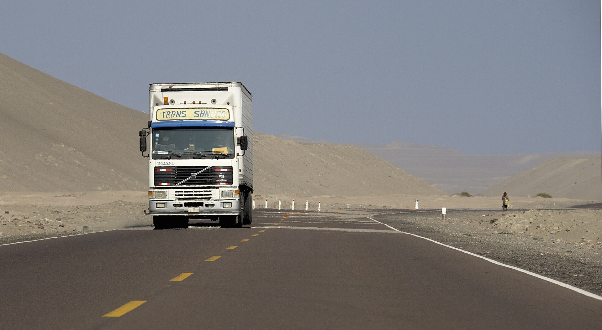
The coastal Pan-American route connects the capital with places such as Paracas, Ica and Nazca. It is a useful paved spine, but a long stage still needs fuel, toll and rest planning. Keep extra distance from trucks, read lane changes early and stop in a legal, visible place rather than on a sandy shoulder. The route near Nazca is not a guarantee that every desert viewpoint or side road is paved.

Tolls, road alerts and turn-back decisions
Use OSITRAN’s toll lookup to search the concessionaire, road, station and current charge for a light vehicle. Toll arrangements differ between concessionaires. Ask the rental company whether it supplies an electronic tag, bills the plate later or expects payment at the plaza. Keep soles available and retain the receipt until the deposit is released.
Before every national-road stage, open the SUTRAN Interactive Alert Map. Its current guidance uses a traffic-light view for normal, restricted and interrupted sections and separates weather, accidents, infrastructure and other causes. If a closure status is unclear, rain has hidden the road edge or the remaining daylight is short, turn around. SUTRAN also lists the 24-hour Fiscafono WhatsApp at 999 382 606 for reports.
Cusco, the Sacred Valley and Machu Picchu access
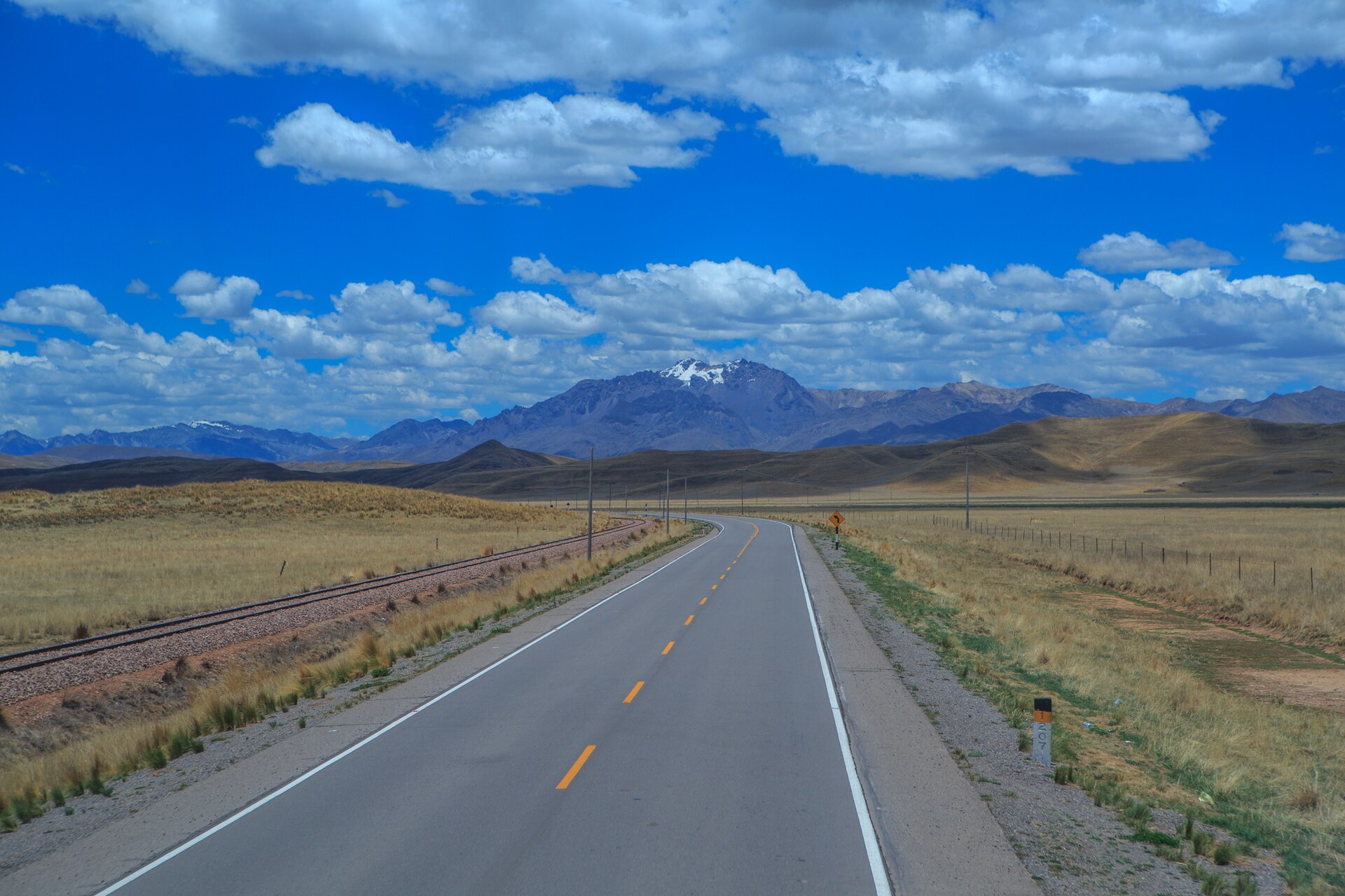
The road from Cusco through Pisac, Urubamba and Ollantaytambo combines paved sections with narrow curves, local buses, pedestrians and occasional animals. Leave the city with fuel, water and a route saved offline. Do not make a fixed flight, train or ticket time depend on a mountain road’s best-case map estimate.
Machu Picchu is a separate transport plan. SERNANP’s visitor information lists road access to Cusco and Piscacucho, and train access from Cusco or Ollantaytambo to Machu Picchu Pueblo, followed by authorised visitor transport or walking. A rental car is useful for the Sacred Valley, not for driving to the archaeological site. Confirm tickets, train operation and authorised operators before leaving the car at a secure hotel or depot.
Highland roads and altitude health
The Ministry of Health advises caution above 2,500 metres. Its practical advice is to rest during the first hours, eat lightly, drink enough water and avoid strenuous plans while the body adapts. The CDC Yellow Book places Cusco at approximately 3,350 metres and recommends gradual acclimatisation and medical advice for travellers with relevant conditions.
Do not drive with a persistent headache, nausea, dizziness, breathlessness, confusion or poor concentration. Stop in a safe place, descend and seek medical care if symptoms are severe or do not improve. Do not self-prescribe altitude medication. A shorter first highland day is more useful than adding a remote pass immediately after landing.
.jpg)
Rain, landslides and remote services
Andean weather can change before a route reaches its pass. Rain, hail, snow, rockfall and landslides may restrict a road even when the departure town is dry. The SUTRAN map includes natural events and infrastructure problems, so check it again on the morning of departure rather than relying on yesterday’s screenshot.
For an unsealed branch, ask the rental company for written permission, recovery limits and a realistic surface report. Carry warm layers, water, a charged phone, a spare tyre and offline maps. Refuel in a larger town and save the next staffed station; remote pumps may have limited hours or card service. A four-wheel-drive vehicle gives clearance, not permission to enter a flooded or unstable crossing.
Parking, fuel and the handover record
In Lima, Cusco and tourist towns, use hotel, mall or guarded parking and remove bags from view. Historic centres often have narrow streets and limited spaces, so confirm the garage entrance before arriving with luggage. At a viewpoint, park only where signs or staff permit and keep passports and electronics with you.
At return, photograph the same panels, wheels, windscreen, fuel gauge, odometer and keys recorded at pickup. Keep toll receipts, an incident number and the final rental statement together. The Peru rental, toll and mountain-road guide expands the route permission, SUTRAN and inspection checklist, while the Arequipa and Colca itinerary shows how to leave a movable day for altitude or weather.
Emergencies and useful contacts
| Service | Number |
|---|---|
| Police | 105 |
| Highway Police | 110 |
| SAMU medical emergency | 106 |
| Firefighters | 116 |
| SUTRAN Fiscafono WhatsApp | 999 382 606 |
| Rental-company roadside help | On the contract and key tag |
The Peruvian government emergency directory lists the national numbers above and notes regional SAMU coverage. Give the operator the road number, direction, nearest kilometre marker or town, vehicle plate and a map pin. After a collision, move out of a live lane only if it is safe, call the police and rental company, photograph the scene from a safe position and follow the insurance reporting procedure.
Official sources and review date
This page was reviewed on 17 August 2026. Foreign-licence validity uses the MTC foreign-driver guidance and national licence regulation. Speed and defensive-driving context uses MTC’s urban-limit update and SUTRAN’s road-limit guidance. Tolls use OSITRAN’s lookup service and toll-evasion context uses SUTRAN’s notice. Road status uses SUTRAN’s live alert map and 2026 map guidance. Altitude guidance uses Peru’s Ministry of Health and the CDC Yellow Book. Machu Picchu access uses SERNANP visitor information. Laws, tolls, road closures, mountain weather, park operations and rental conditions can change, so open the named authority again before departure.
Related destinations
Frequently Asked Questions
- Can a foreign visitor drive in Peru with a home-country licence?
- The Ministry of Transport says a valid foreign licence issued under a convention recognised by Peru can be used for up to six months from entry. Carry the original licence and passport, and confirm the rental company's document and insurance policy before payment.
- Do I need an International Driving Permit in Peru?
- An IDP issued under a convention recognised by Peru is a valid route, but the MTC does not describe it as the only route for every visitor. The original foreign licence can be valid for up to six months when the relevant convention applies. Check the exact language, issuing country and rental policy.
- What are Peru's current speed limits?
- The MTC describes 30 km/h on streets and 50 km/h on avenues in urban areas. SUTRAN lists 100 km/h for cars, pickups and motorcycles on roads where no lower sign applies, with 30 km/h in commercial, school and hospital zones and 50 km/h in residential areas. A posted sign or officer always controls.
- How do I plan tolls in Peru?
- OSITRAN's toll service lets you filter by department, road, concessionaire and station to see the current charge for the vehicle type. Ask the rental company whether it supplies an electronic device or bills plate-based passages, and keep the receipt.
- How can I check whether a mountain road is open?
- Use SUTRAN's Interactive Alert Map immediately before departure. It classifies national-road sections as normal, restricted or interrupted and includes incidents from weather, crashes, infrastructure and other causes. A navigation app cannot replace that status check.
- How should I handle altitude before driving?
- Peru's Ministry of Health advises care above 2,500 metres, including rest during the first hours, light meals and hydration. If headache, nausea, dizziness, breathlessness or poor concentration persists, stop driving, descend and seek medical help.
- Is Lima a good place to start a self-drive trip?
- Lima's arterial roads have marked lanes, buses, taxis, motorcycles, pedestrians and frequent junction decisions. Many visitors collect a car at the airport and leave the city in daylight, or use a driver for the first transfer before taking a car for the coast or highlands.
- Can I drive directly to Machu Picchu?
- Machu Picchu is not a normal drive-to attraction. SERNANP lists road access to Cusco and Ollantaytambo, then train or authorised bus and walking options for the sanctuary. Leave the rental car at an agreed, secure base and confirm the current ticket and transport operation.
- Is the Pan-American Highway to Nazca paved?
- The coastal Pan-American route is a paved long-distance corridor, but the stage still includes trucks, tolls, towns and fatigue. Side roads to viewpoints or desert sites can have a different surface. Check the route, fuel stops and daylight return before leaving.
- Which emergency numbers should I save?
- Peru's official services list 105 for police, 110 for highway police, 116 for firefighters and 106 for SAMU medical emergencies. Save the rental company's roadside number and SUTRAN's 24-hour Fiscafono WhatsApp, 999 382 606, separately.
Information Sources & Disclaimer
This guide compiles information from the official transport authorities, road operators, government travel information, and automobile associations linked for Peru.
While we strive to keep this information as accurate and up-to-date as possible (last reviewed: August 2026), traffic laws and toll rates can change without notice. We recommend verifying critical information with the local authorities or your car rental agency upon arrival.
Learn more about our Editorial Process →Compare Your Origin and Destination
Use the comparison tool to check driving side, units, documents, and other destination data for your route.