Start with the road, not the map
Mexico is a federation of different road authorities, climates and rental contracts. A route from Tijuana to Cabo, Mérida to Valladolid, or Mexico City to a highland town is not governed by one simple “Mexico driving rule”. The federal mobility law sets national safety ceilings, while states, municipalities and concessionaires add signs, tolls, verification programmes and local operating conditions.
The country drives on the right. A first day on a familiar urban grid or a short divided-road transfer helps establish the car’s mirrors, braking and navigation before a long rural stage. Keep the physical licence, passport, rental agreement and insurance evidence together. A phone scan is a useful backup, but it is not a substitute at a rental counter or after a collision.
Two route choices recur throughout the country: a tolled autopista and a non-toll libre road. The former may save time and avoid town centres, while the latter can offer more local access but more junctions, pedestrians, buses and speed bumps. Select by the specific corridor, not by the name alone.

Licence, IDP and rental documents
For a visitor, a current foreign licence is commonly accepted. The official VisitMexico mobility information says a foreign driver’s licence is valid in Mexico and that most rental agencies accept one. That is useful context, not a promise that every state or desk will accept every format.
The rental contract is the practical checkpoint. Avis Mexico’s current terms require a valid licence and specify an IDP when the licence is written in a non-Roman alphabet. Other operators can request an official translation, a minimum period holding the licence or a credit card in the main driver’s name. An IDP is a translation document; carry it with the original national licence, never on its own.
If you bring your own foreign-plated vehicle, the situation changes. A temporary vehicle import permit and the permitted border zone are separate from the driver’s licence. Mexico’s customs authority (ANAM) explains when a permit is required and where a foreign vehicle may circulate without one. A rental car normally cannot cross a border or leave Mexico without written permission from the operator and the correct insurance.
The legal minimum age for driving a car is not the same as the rental minimum. Branches may set a higher age, a young-driver fee, a one-year licence-holding rule and a large card deposit. Confirm the vehicle class, additional drivers, one-way fee, ferry or border permission, unsealed-road exclusions and glass, tyre and underbody excess before paying.
Everyday rules and federal speed ceilings
The Ley General de Movilidad y Seguridad Vial provides a useful national baseline:
- 30 km/h on secondary and tertiary streets;
- 50 km/h on primary avenues without controlled access;
- 80 km/h in the central lanes of controlled-access urban avenues;
- 80 km/h on state roads outside urban areas, with 50 km/h inside urban areas;
- 110 km/h for cars on federal roads and autopistas. The same federal table lists 95 km/h for buses and 80 km/h for freight vehicles.
These are maximums, not targets. A local sign can be lower, and a wet curve, dust, glare or a line of stopped traffic can make a much lower speed appropriate. Seat belts are required for every occupant. The federal law also requires a suitable child restraint for a child under 12 or anyone whose size requires one, in the rear seats; follow the applicable local rule and the rental company’s equipment instructions. Never hold a phone while moving, and plan a zero-alcohol drive.
Topes are part of ordinary route planning. They are common near schools, village entrances, markets, toll exits and fuel stations, and some are poorly painted. Read the road surface rather than relying on the sat-nav. Lift off early, check the mirrors, cross squarely and expect another tope a short distance later. Do not brake sharply after a following vehicle has committed to the same lane.
At junctions and roundabouts, lane arrows and local signs matter more than a generic diagram. Give pedestrians room at crossings, expect motorcycles to occupy small gaps and leave space for buses to pull out. A wide divided avenue can change into a two-lane local road within a few kilometres.
Autopista, libre and toll planning
CAPUFE is the largest operator, but it does not operate every Mexican toll road. Its current network notice explains the distinction and links to the operated-road map. For CAPUFE routes, IAVE can automate payment on compatible plazas; the 2026 tariff document shows why a route budget must be tied to a named road and vehicle class.
Before departure, write down the route number, each expected toll, the next fuel stop and an alternative if a plaza or bridge is closed. Carry pesos even when a card lane is advertised. A rental car may already have an IAVE or another tag, or the company may bill tolls later with an administration fee. Photograph the receipt and ask for the vehicle’s toll procedure at pickup.
An autopista can have better separation and predictable junctions, but it still needs attention to lane changes, debris, stopped vehicles and weather. A libre road may be the sensible choice for a short town-to-town hop, but passing through settlements adds pedestrians, local buses, topes and unmarked turns. Avoid describing either class as universally “safe”; compare the actual day’s distance and light.

Regional planning: Baja, Yucatán and the central highlands
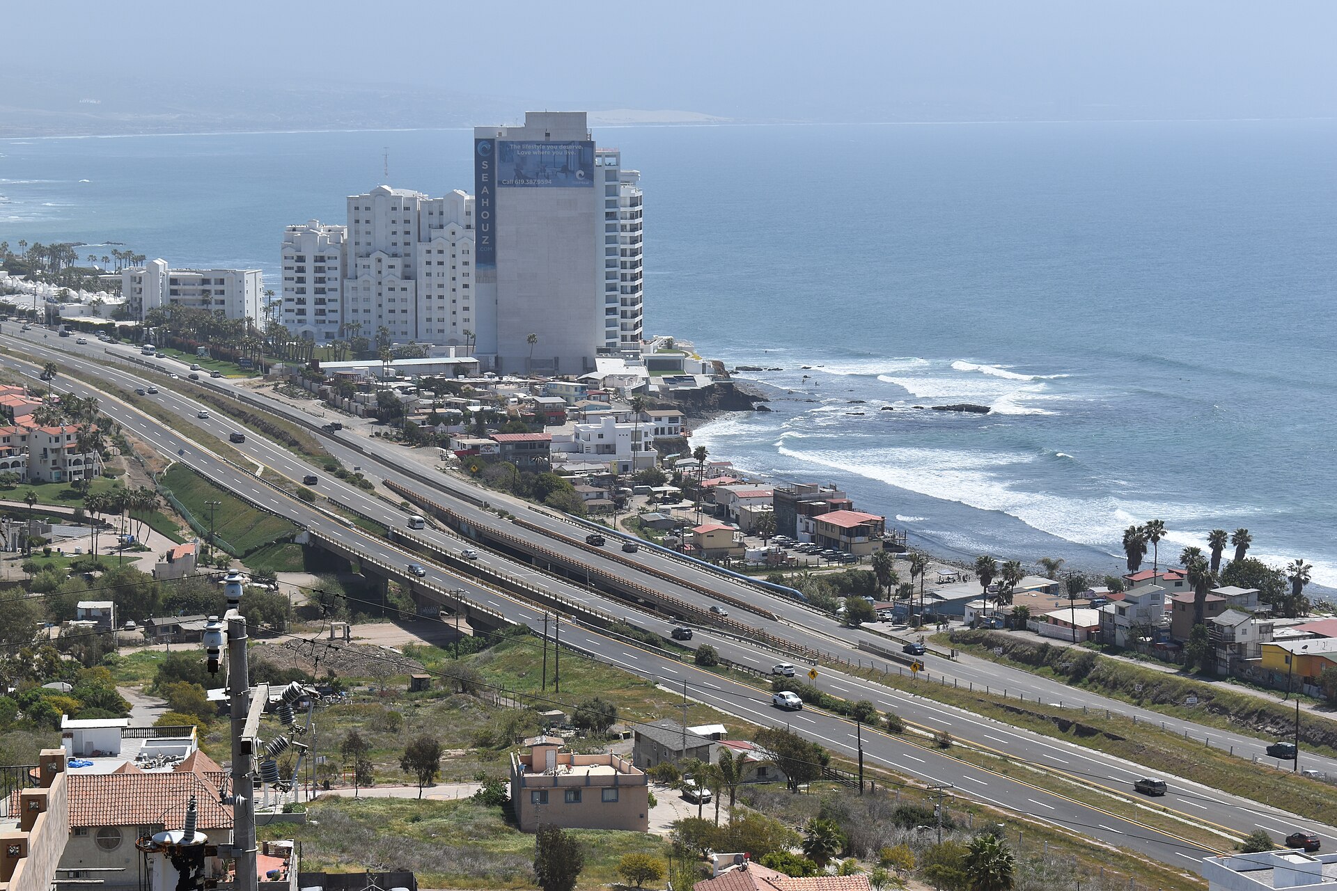
Baja California and Baja California Sur. Federal Highway 1 links a long, exposed peninsula. Distances between fuel, food, tyre repair and reliable mobile coverage can be greater than the map suggests. Top up before a remote section, check the spare wheel and jack, and leave daylight for the final approach. The road can alternate between libre pavement, town traffic and a 1D toll segment; record which one your rental contract permits.
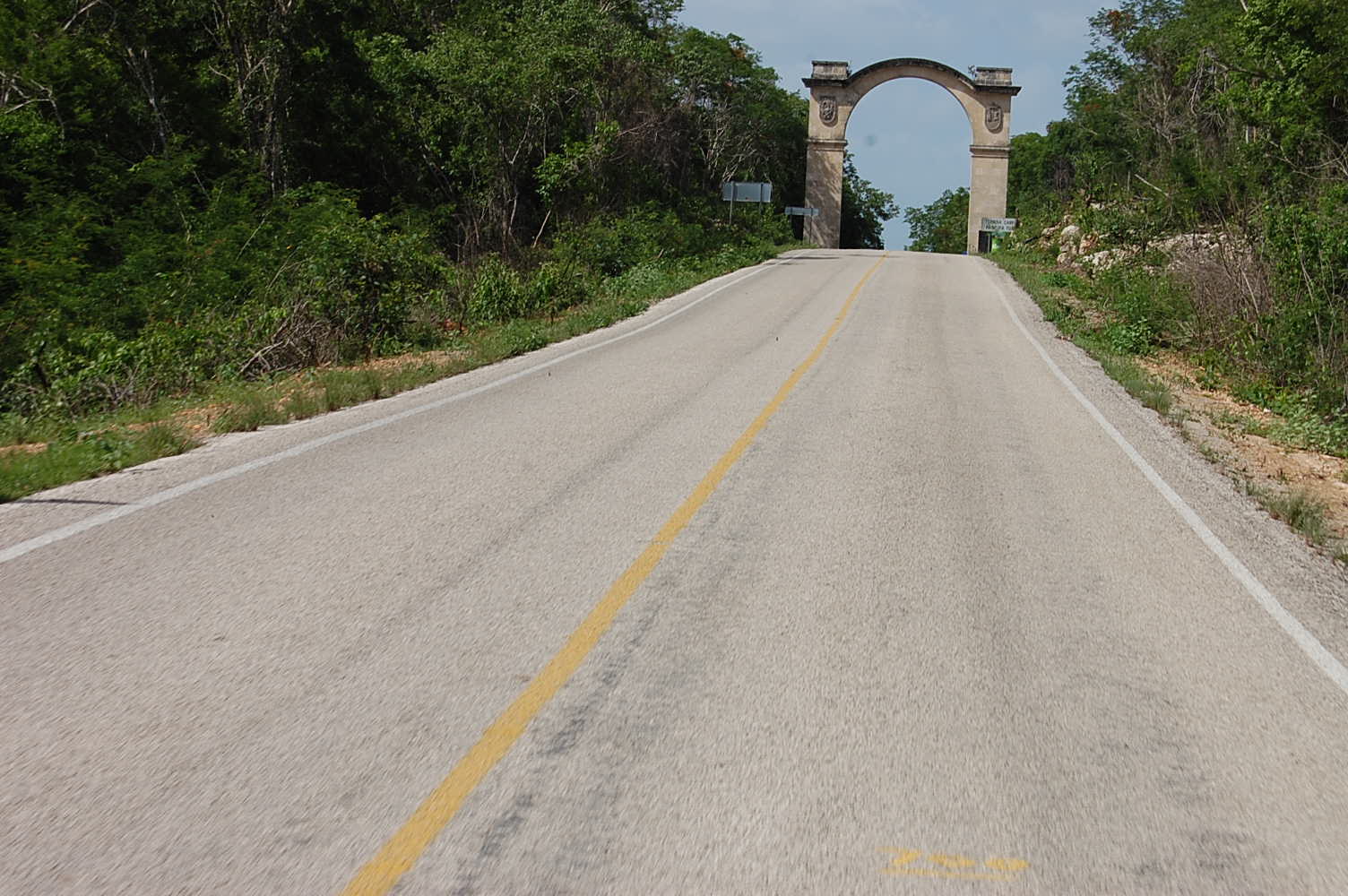
Yucatán and Quintana Roo. The Mérida–Cancún corridor differs from a village approach to Valladolid, Uxmal or a coastal town. Expect topes, motorcycles, pedestrians, buses and local traffic at junctions. Start with fuel and daylight, keep luggage out of sight when parked, and build time for a slower final kilometre rather than trusting the motorway average.

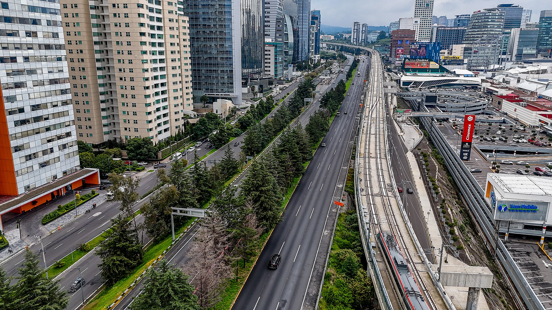
Central Mexico. Mexico City, Puebla, Querétaro, Guanajuato and the highland corridors combine dense traffic, altitude, steep grades and several toll alternatives. Allow more time near urban approaches, use a confirmed parking facility and do not schedule a long mountain transfer immediately after an international arrival. A car can be useful outside a city and a burden inside it; splitting a trip into a car-free urban stay and a later regional pickup is often the cleaner plan.
Mexico City restrictions, parking and security
Vehicle restrictions in Mexico City and the metropolitan area are local, plate-based and subject to air-quality contingencies. The official Hoy No Circula portal and Pase Turístico portal are the places to check current eligibility. A foreign or rental plate is not automatically exempt, and a tourist pass does not override every contingency. Ask the branch for the plate, verification status and any instructions before entering the city.
Use a marked hotel or public car park with clear hours and keep the rental agreement and toll receipts. Do not leave passports, cameras or bags visible. If a person asks for an informal roadside payment, stay calm, request an official citation and contact the rental company’s emergency line; do not offer cash to make a problem disappear. For an immediate threat, use 911. A safety plan should describe specific actions, not label an entire state or community.
Fuel, charging and weather
Mexico commonly sells Magna and Premium petrol as well as diesel. Fuel stations may be attendant-served, and remote businesses may have limited card connectivity. Confirm the fuel type on the filler cap, keep a cash fallback and refuel before the tank becomes critical. EV charging coverage and payment methods vary sharply by region; check the connector, opening hours and live status, then save a second charger for a long or hot stage.
Rain and tropical systems affect both coasts, while heat, dust and altitude matter inland. Check the Servicio Meteorológico Nacional forecast and local Protección Civil notices for the route itself and the destination. The 2026 cyclone season coordination by CNPC and SMN is a reminder that flooding and landslides can change a road plan quickly. Never cross a flooded dip because a vehicle ahead succeeded; turn around when the depth or current cannot be judged.
Collision, breakdown and emergency contacts
Call 911 for an urgent medical, security or civil-protection emergency. On a CAPUFE-operated toll road, 074 provides road information, emergency coordination and free roadside services; CAPUFE’s current service page explains the limits of its tow service. 078 connects travellers to Ángeles Verdes for tourist information and roadside assistance on covered routes.
After a collision, switch on hazards, move out of live traffic only when safe, call the insurer and record the exact road, kilometre marker, direction, vehicles and injuries. Photograph the scene and the rental car before it is moved when doing so is safe. Do not sign a repair agreement or accept responsibility before speaking with the rental company’s insurer. Follow police, CAPUFE or local authority instructions.
Official resources and review date
This page was reviewed on 17 August 2026. Federal limits, toll tariffs, city restrictions, weather warnings and rental contracts can change. Recheck the source that applies to the exact road and vehicle immediately before departure:
- Ley General de Movilidad y Seguridad Vial
- VisitMexico mobility information
- Avis Mexico rental terms
- CONDUSEF compulsory liability insurance guidance
- CAPUFE operated-road network
- CAPUFE 2026 tariffs and IAVE
- Mexico City Hoy No Circula
- SMN general forecast
- 911 emergency service
Related guides and destinations
Frequently Asked Questions
- Can I drive in Mexico with my foreign licence?
- A current foreign licence is commonly accepted for a visitor, and VisitMexico describes foreign licences as valid in Mexico. There is no single IDP rule that covers every nationality, state and rental desk. Check the rental company's written terms: Avis requires an IDP when the licence uses a non-Roman alphabet, while another operator may request an official translation. Carry the original licence and passport; an IDP never replaces the national licence.
- What are Mexico's speed limits?
- The federal mobility law sets maximums by road class: 30 km/h on secondary and tertiary streets, 50 km/h on primary avenues without controlled access, 80 km/h on controlled-access urban central lanes, 80 km/h on state roads outside urban areas, and 110 km/h for cars on federal roads and autopistas. Signs, a lower local limit and weather conditions always take priority.
- What is the difference between an autopista and a libre road?
- An autopista is generally a controlled-access toll road, while a libre route is a non-toll road that passes through towns and junctions. Neither label alone guarantees a particular surface or traffic level. Compare the exact road number, daylight, fuel stops, tolls, shoulder space and rental-company permission before choosing.
- How do I pay tolls in Mexico?
- Toll methods depend on the concessionaire. CAPUFE publishes current route tariffs and supports IAVE electronic payment on compatible plazas; other operators may use their own tags. Carry enough pesos for a route that may not accept your card, keep every receipt and ask the rental desk whether its vehicle already has a tag or toll-service fee.
- Do I need Mexican liability insurance for a rental car?
- Third-party liability insurance is required on federal roads, and CONDUSEF says vehicles must carry proof of the policy. Ask the rental company exactly what liability cover is included, what excess applies, and whether the policy covers the states and roads on your itinerary. Do not assume a credit-card policy replaces the Mexican contract.
- What are topes and how should I approach them?
- Topes are speed bumps, often marked by paint or a warning sign and sometimes built by a local community. They can appear near schools, villages, toll exits and fuel stations. Scan well ahead, lift off the accelerator before the bump and keep the wheels straight; a dark or unmarked tope is a reason to reduce speed further.
- Can I drive in Mexico City with a rental car?
- Mexico City and the wider metropolitan area apply local emissions and plate restrictions. The official Hoy No Circula site and Pase Turístico portal show the current rule and whether an eligible vehicle can obtain a pass. Ask the rental branch for the plate type and verification status before entering; do not assume every foreign or rental plate is exempt.
- Which regions suit a self-drive itinerary?
- Baja California rewards a short list of fuel stops and a conservative plan for Federal Highway 1. Yucatán combines the Mérida–Cancún corridor with slower town approaches and frequent topes. Central Mexico has dense urban traffic, altitude changes and more toll-road choices. Choose one region rather than treating Mexico as a single uniform road network.
- Is it safe to drive after dark?
- There is no national rule that makes every night drive unsafe, but darkness reduces the time available to see topes, pedestrians, animals, road works and unlit shoulders. For an unfamiliar rural route, finish the longest section in daylight, confirm the last fuel stop and use a guarded or official car park at night. Follow local advice and the rental contract.
- Which numbers should I call after a crash or breakdown?
- Call 911 for an urgent medical, safety or civil-protection emergency. On a CAPUFE-operated toll road, 074 provides road information, emergency coordination and roadside assistance. Ángeles Verdes uses 078 for tourist information and roadside help on covered routes. Move out of live traffic only when it is safe, photograph the scene and call the rental insurer before agreeing to repairs.
Information Sources & Disclaimer
This guide compiles information from the official transport authorities, road operators, government travel information, and automobile associations linked for Mexico.
While we strive to keep this information as accurate and up-to-date as possible (last reviewed: August 2026), traffic laws and toll rates can change without notice. We recommend verifying critical information with the local authorities or your car rental agency upon arrival.
Learn more about our Editorial Process →Compare Your Origin and Destination
Use the comparison tool to check driving side, units, documents, and other destination data for your route.